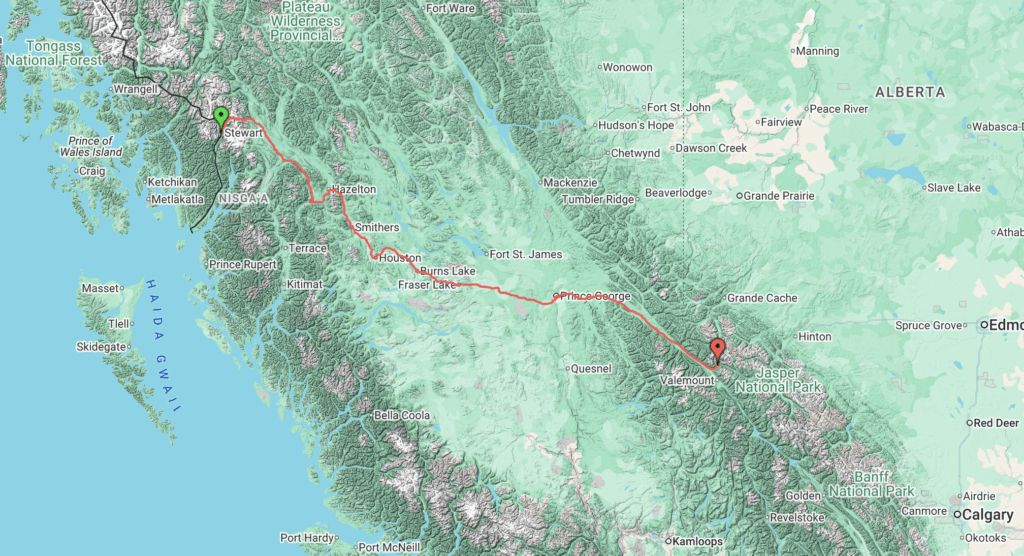
| 11 cycle days | 1010 km | 8774 m ascent | 6 rain days |
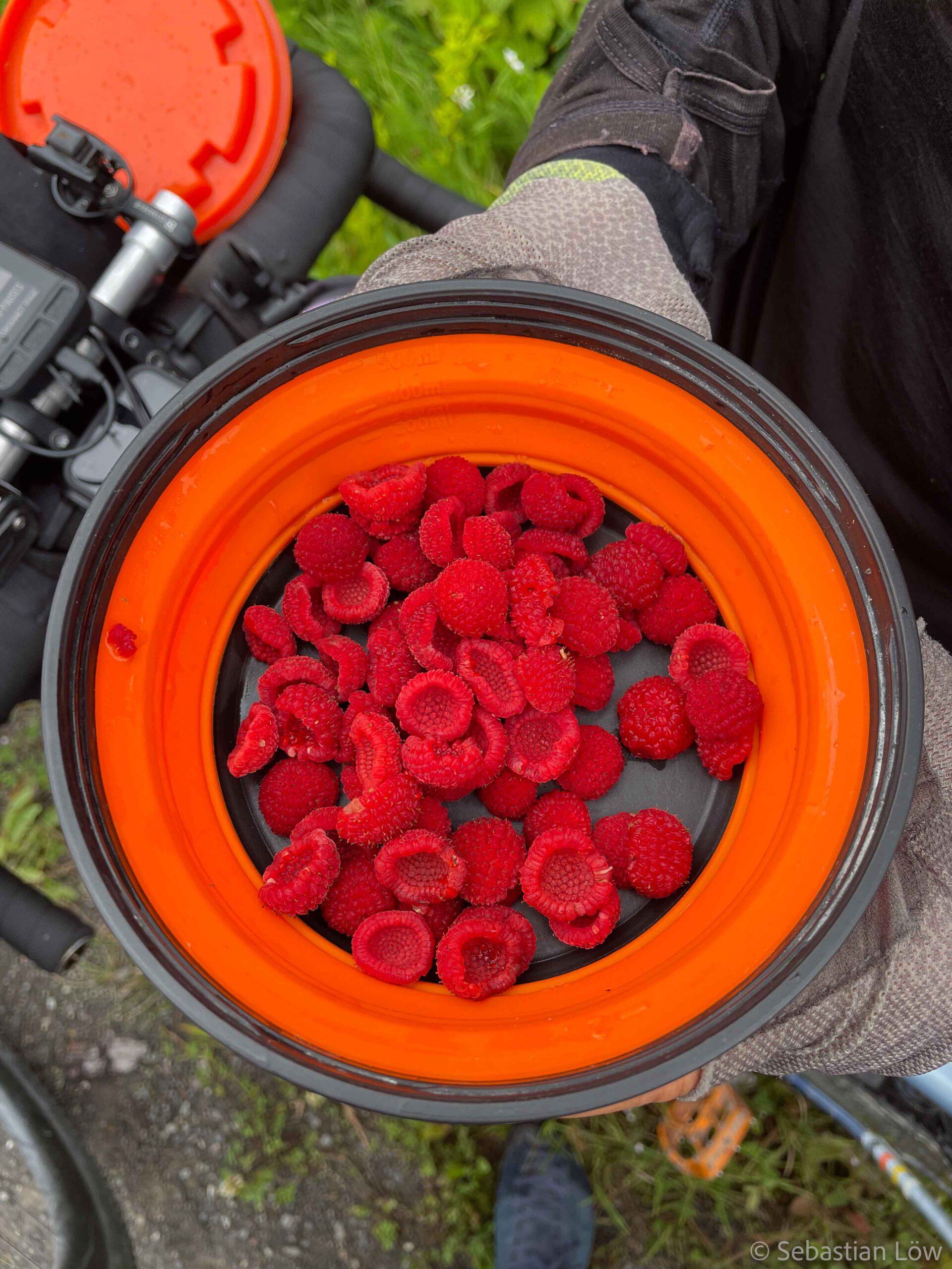
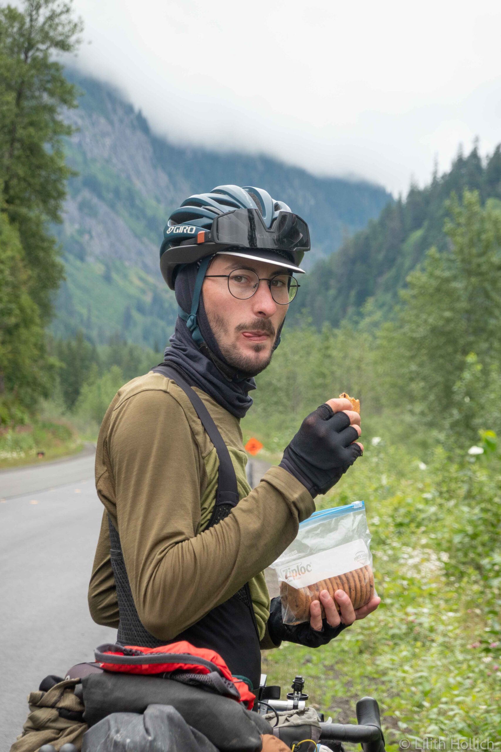
After a week in Stewart, we were on the bikes again and cycled back to Meziadin Junction. It was raining and we started quite late. In Stewart we finally had internet to research what kind of berries we had seen on the side of the road the week before. They were thimbleberries and edible! So we stopped and tried them when we passed near endless patches of Thimbleberries on our return to Meziadin Junction. They were so yummy that we picked a lot more for later.
From other cyclists we had heard that there’s a motel / camp for workers, where cyclists can get a room for the night. The campsite was still closed for camping in a tent, so the motel was our only option if we didn’t wanna camp in an area with high grizzly bear activity. We got to the Junction in the afternoon and enjoyed the luxury of not having to pitch the tent for once.
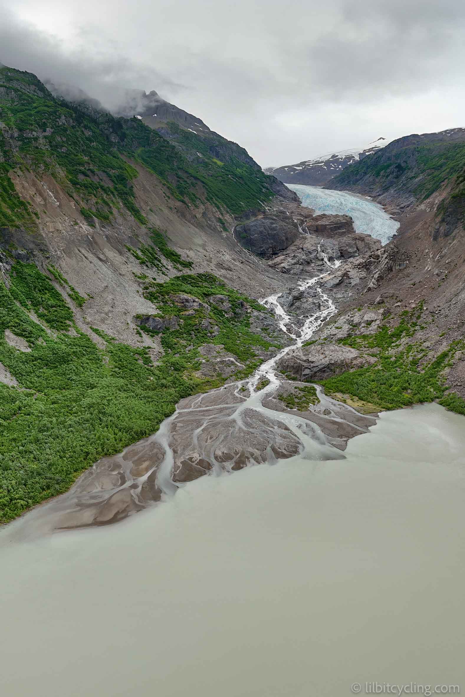
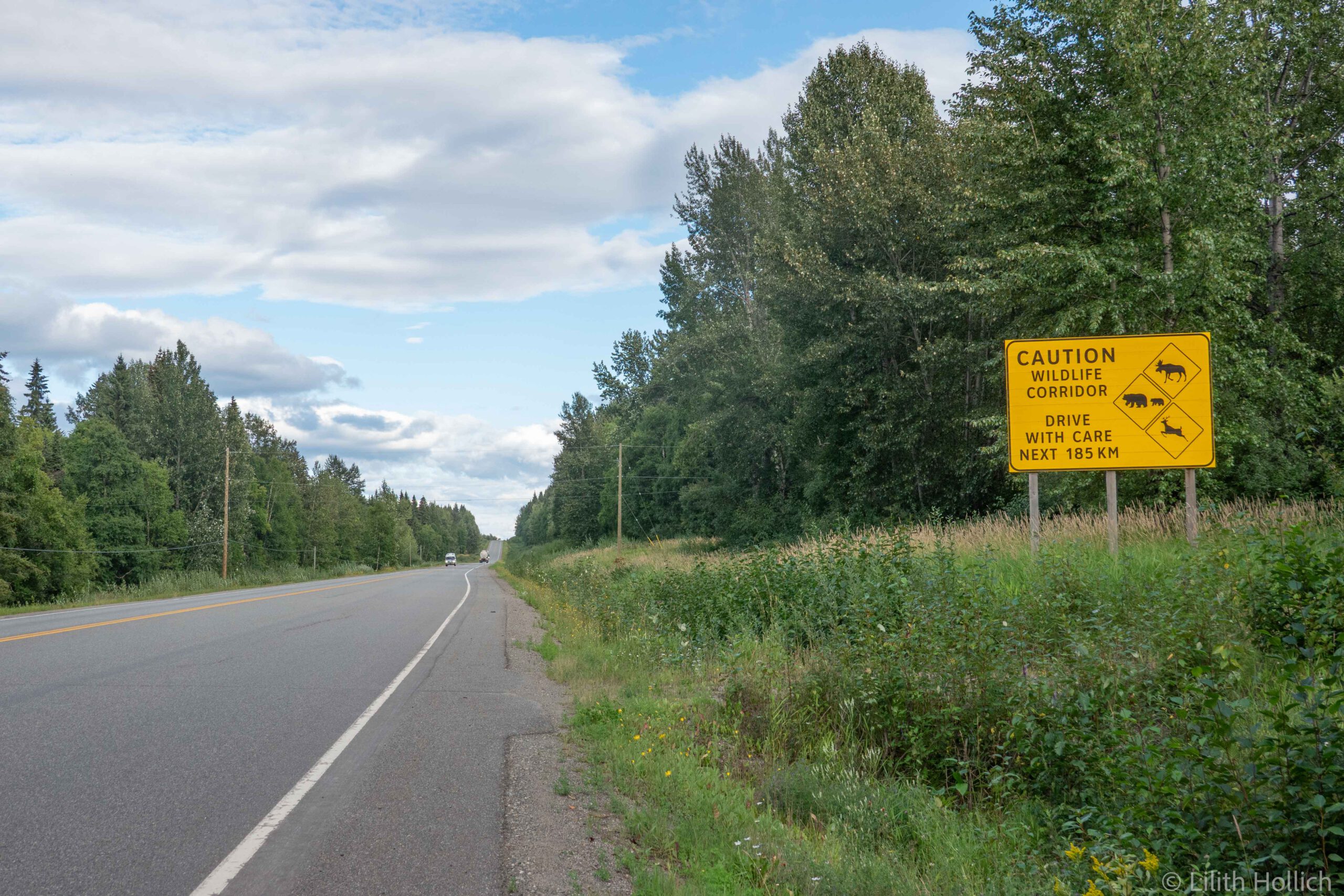
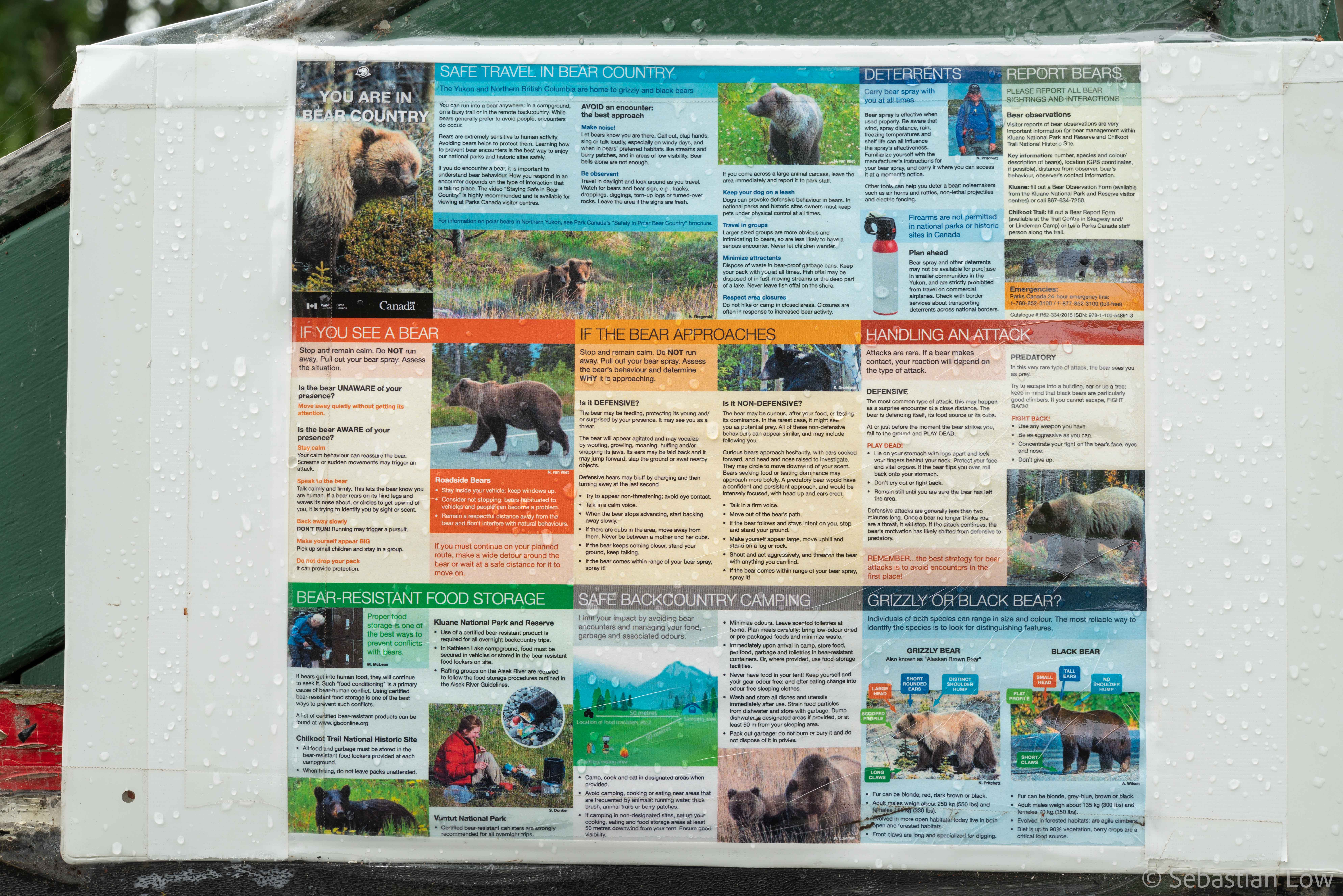
From the Junction, we would continue on the Cassiar Highway for another two days. Two very rainy days… This stretch is a fairly busy wildlife corridor and we frequently passed signs saying “wildlife corridor for the next xx km” – not the most reassuring thing to see if you know you need to camp somewhere in there! But except for another two black bears we didn’t see any big wildlife. All of our bear encounters were over super fast, we have yet to see one long enough to take a proper picture! We cycled quite far and found a place to camp at a rest area a bit off the road. At least there were no salmon in the creek to attract bears and we had a wildlife-free night.
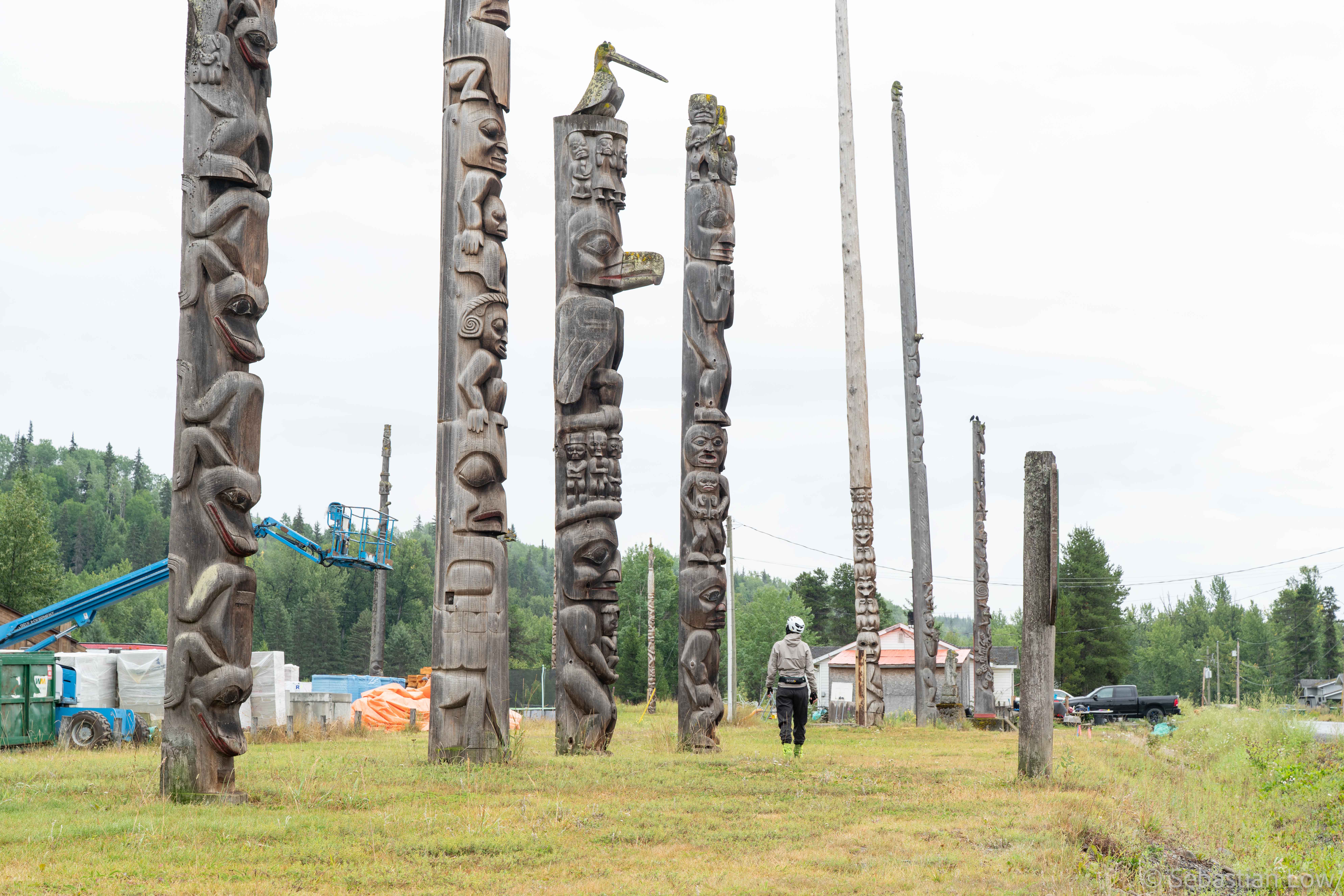
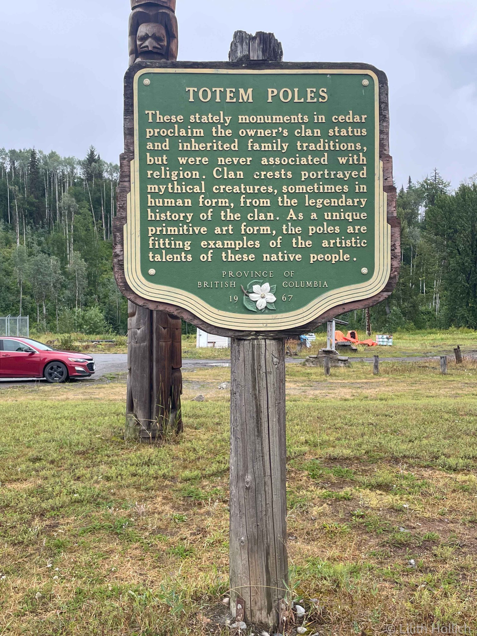
It rained the next morning and with no roof to hide under and not being able to eat in the tent due to food smells and bears, we cycled to the next village to eat breakfast. The closer we got to the end of the Cassiar Highway and the junction with the Yellowhead Highway, the more small villages we passed. The General Store in Gitanyow had four aisles of chips and hardly anything else. Gitanyow was the first place where we saw some of the totem poles of the indigenous people. They are used to tell their history, rights, responsibilities and more. Some are replicas, as the original ones were relocated to the Royal British Columbia Museum, others are original ones.
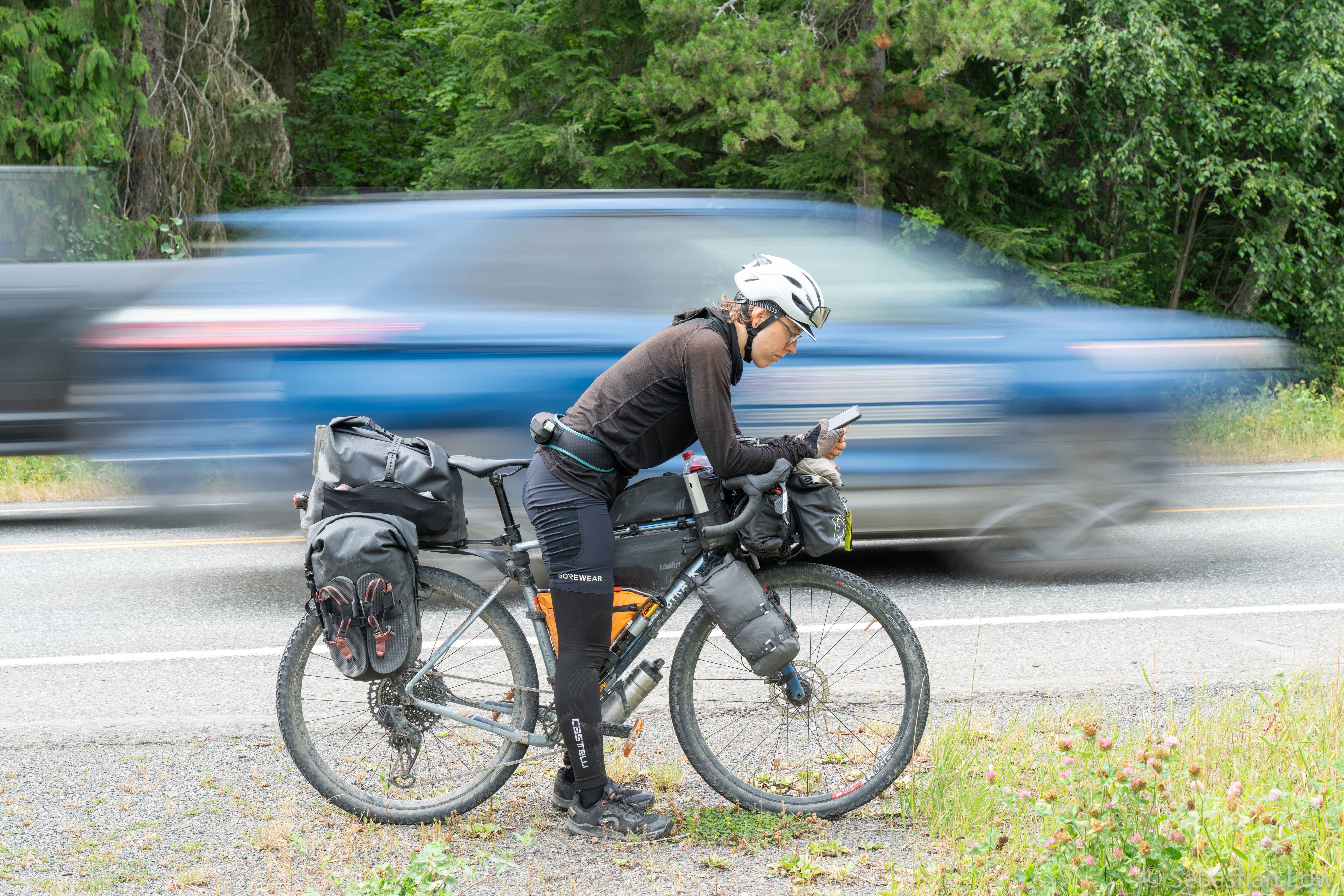
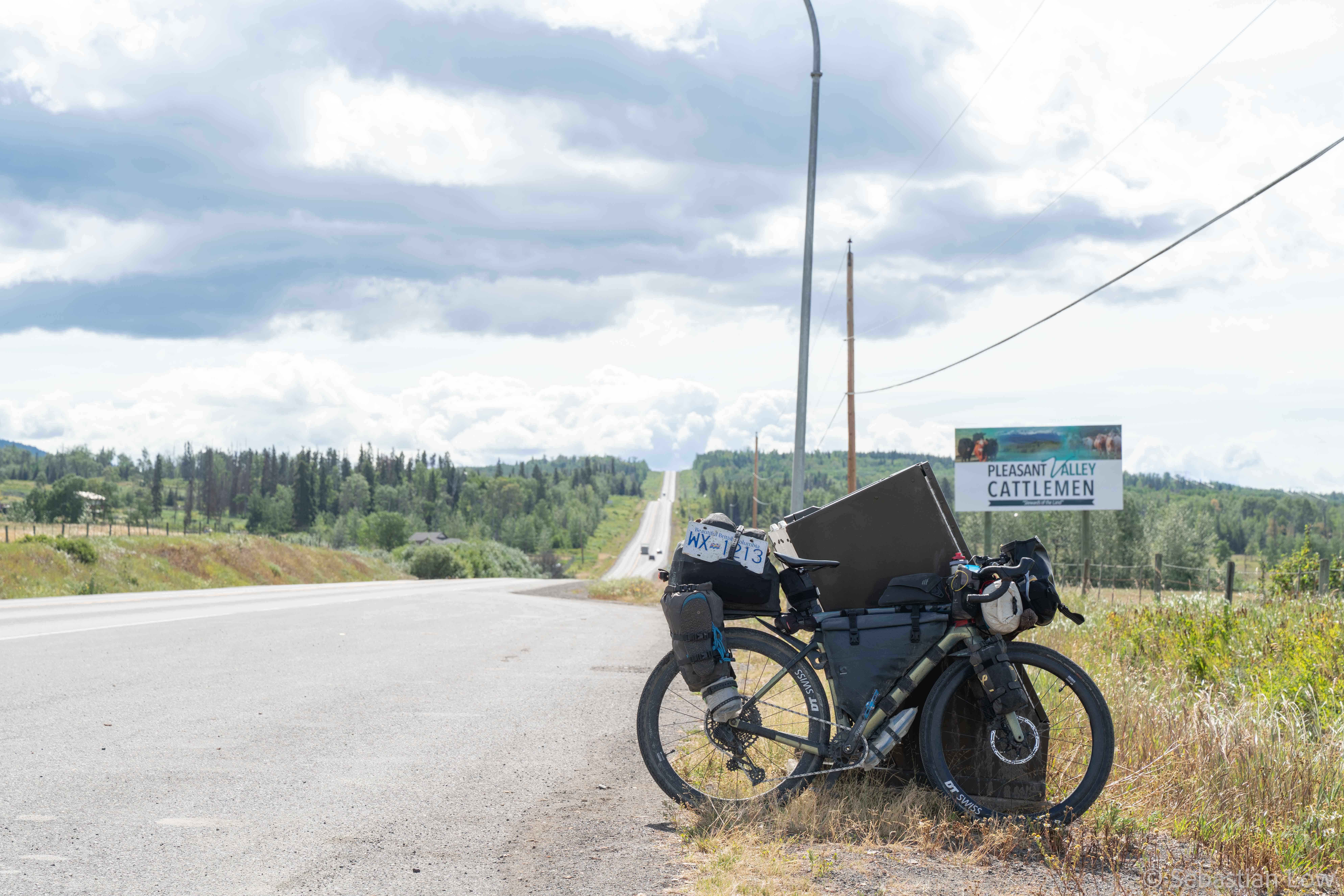
We reached Kitwanga and the end of the Cassiar Highway. We turned onto the Yellowhead Highway, a major highway connecting the west coast with more central Canada. After weeks and weeks of little traffic and remote roads, we were overwhelmed by the amount of traffic and the noise it comes with. That highway was just incredibly busy! At least the shoulder was mostly wide and usable.
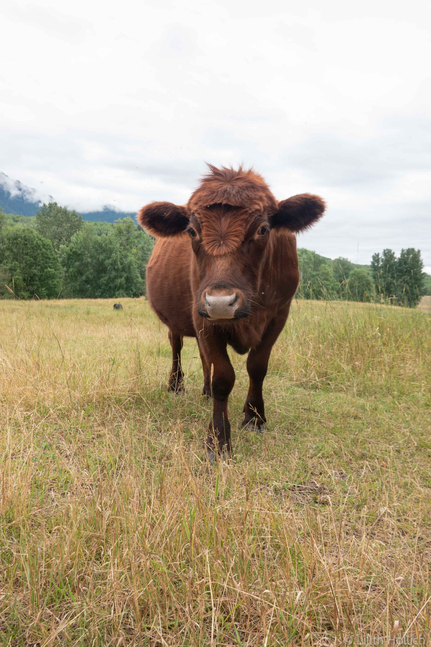
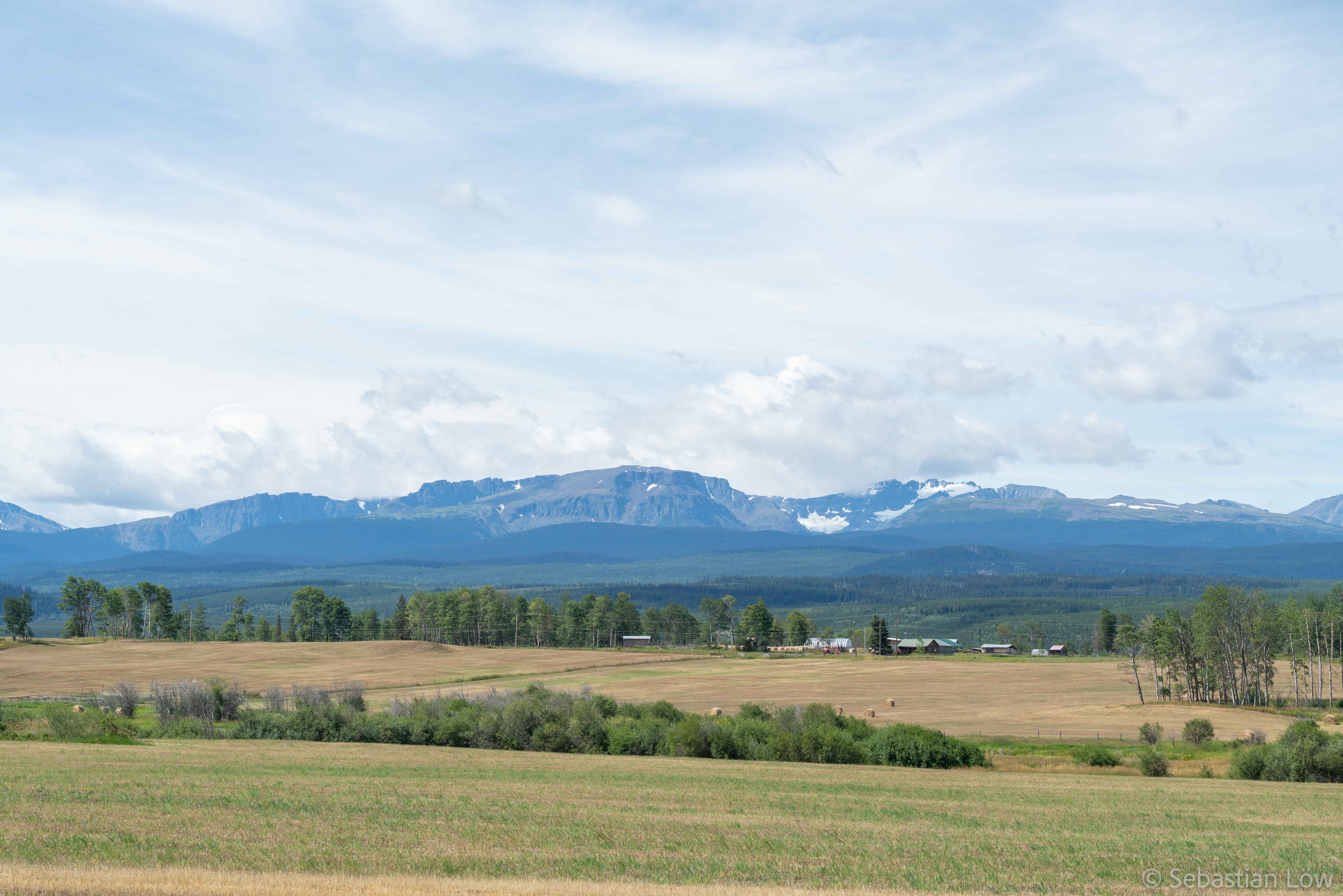
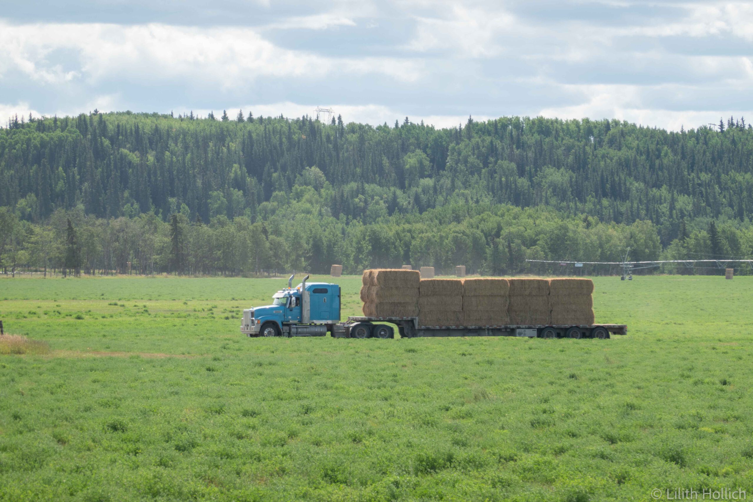
As soon as we got onto the highway, we were back in populated areas and there was a lot of agriculture and farming on the fields around us. Every day we passed at least one town with a visitor centre and a supermarket. Our phones had reception nearly all the time and after so many days without service we got quite used to not being online and had our phones in airplane mode a lot.
We camped outside of New Hazelton on a nice recreational campsite. So many people had recommended the local bakery there to us. It is apparently run by a German and very good – with Brezel and real bread! We got there early the next morning – only to realize that it’s closed! Which bakery closes on a Saturday, and Sunday…? Quite disappointed, we had our usual breakfast at the local visitor center, sheltered from the rain at least. After a long and rainy day we got to Smithers and we were really happy about the shower and sheltered cooking area at the campground.
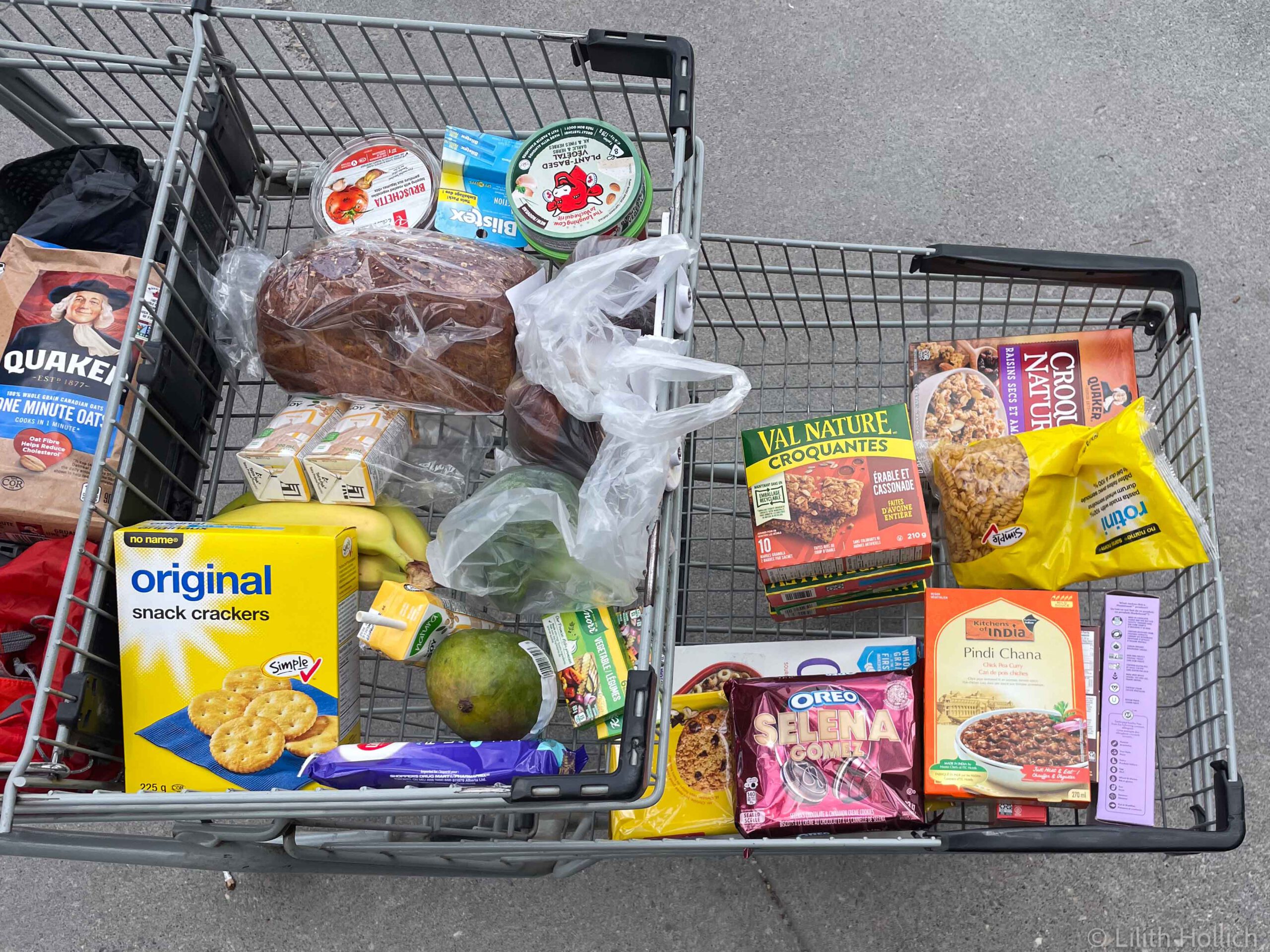
The supermarket in Smithers had really good things and so we had a day of culinary highlights when we cycled out of Smithers. We usually only have cereals and oats with water for breakfast – this day we even had blueberries and soy milk! For lunch we made amazing wraps, complete with fresh veggies. Just outside of Smithers we got to see another black bear. It was trying to cross the road and stared at us from the bushes when it walked past us.
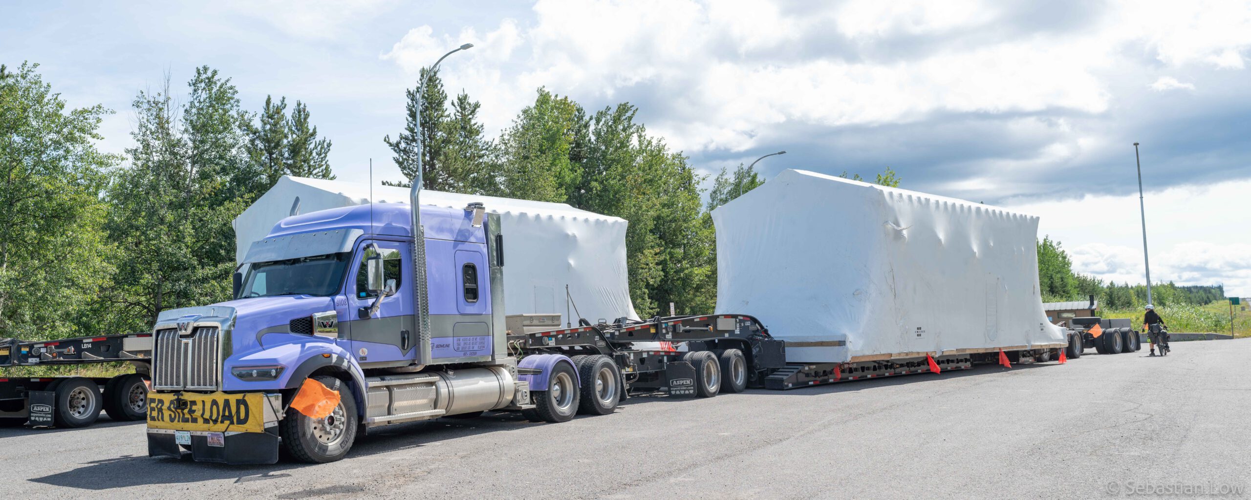
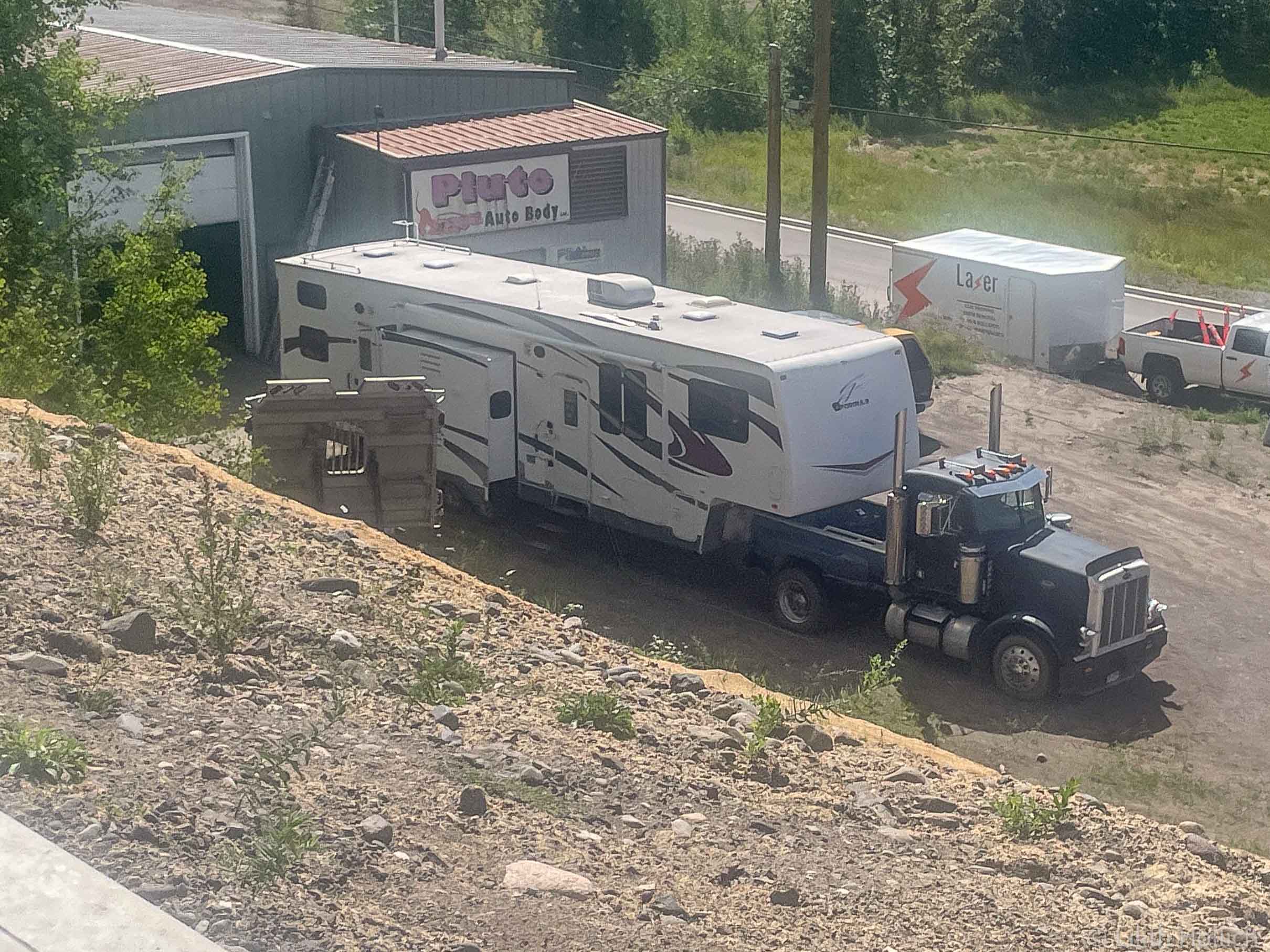
In addition to all the farming, we saw lots of oversize load trucks, mostly transporting ready-to-use homes. Some of those houses even come with a tow bar… We camped at a tiny free campsite at a lake just off the highway. We were ready to take a quick wash in the lake, when Sebi discovered tiny disgusting worms while walking in the water. We quickly abandoned the mission – no washing or filtering water that day!
I started looking into things ahead of us and planning some activities off-bike. One thing I came across and which I really wanted to do is hiking the Berg Lake trail. It is located in the Mount Robson Provincial Park, and although a part of it is doable as a day hike, we would miss out on some incredible views. Camping there would be so much cooler! Camp sites have to be reserved though and were all booked out since April, so I spent some time hunting last-minute-cancelled camp sites.
At some point, the weather turned from rainy to fairly warm. We stopped at the visitor center in Burns Lake and an older Swiss couple started talking to us – they ended up giving us Swiss Chocolate. Apparently they had flown to Canada with seven kilograms! The landscape didn’t change much, with fields and farming and every now and then a bit of forest. One day we found not one, but two license plates from British Columbia, the region we currently cycled through.
Fraser Lake has a free RV Park right next to a lake and we stayed there for a night. Other campers started talking to us and one of them gave us meals-ready-to-eat from the US military.
Prince George was the next bigger town coming up and we’ve heard things about it, not all of them very good. Apparently the crime rate is pretty high, as well as the amount of homeless people. The stretch from our campsite in Fraser Lake towards Prince George was about 150 km long and didn’t have any possibilities to camp. The wind was in our favor that day and we made the decision to cycle it in one day. After 60 kms we passed the town of Vanderhoof and stopped for a second breakfast at a Belgian bakery. It was really delicious, but nearly too sweet. The tailwind was strong and the remaining 90 kms towards Prince George were not too bad. The campsite was on the outskirts of town and a bit weird. We were being told not to leave food outside, but in the next sentence we learned that they don’t have bear lockers – well, what should we do? We ended up using a small water hose shed for our bags of food.
That night I managed to book some campsites on the Berg Lake Trail, which was so exciting! It also meant that we had to be at the Mount Robson Park in three days, which was absolutely doable.
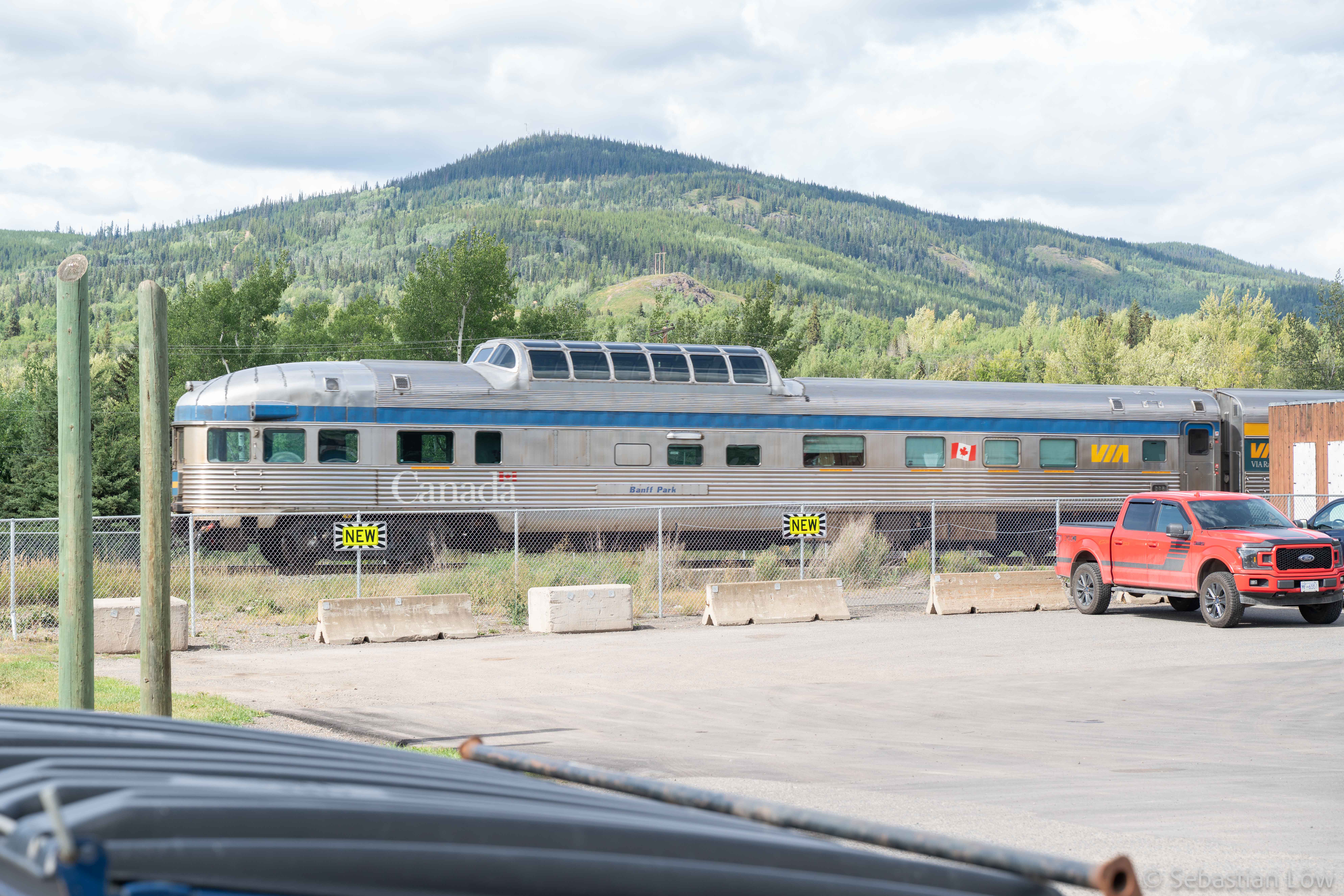
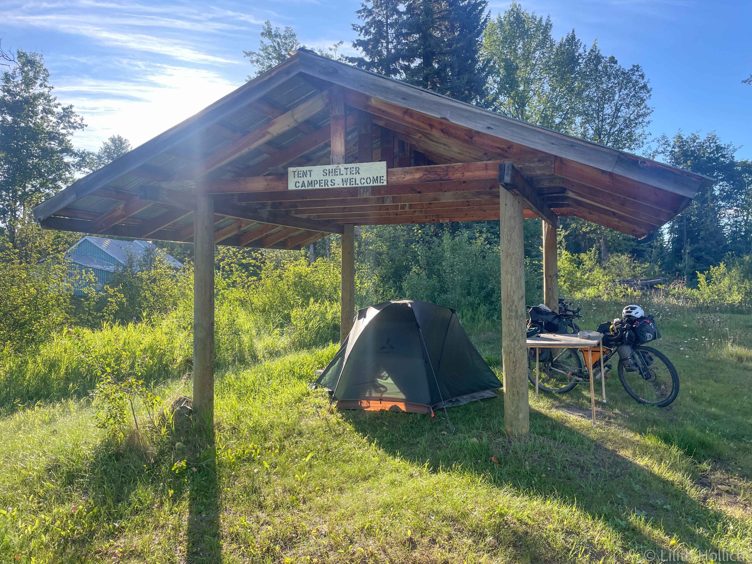
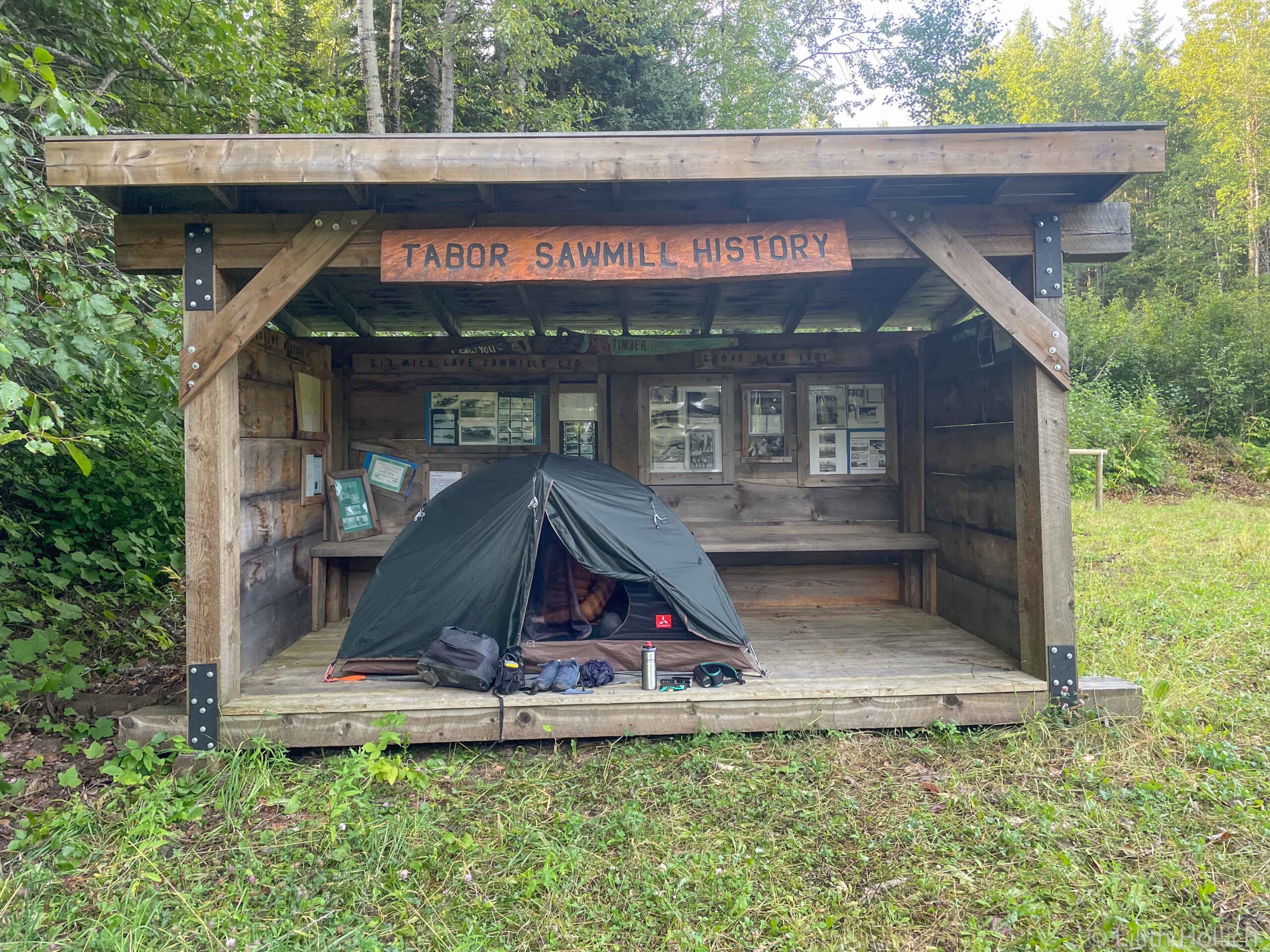
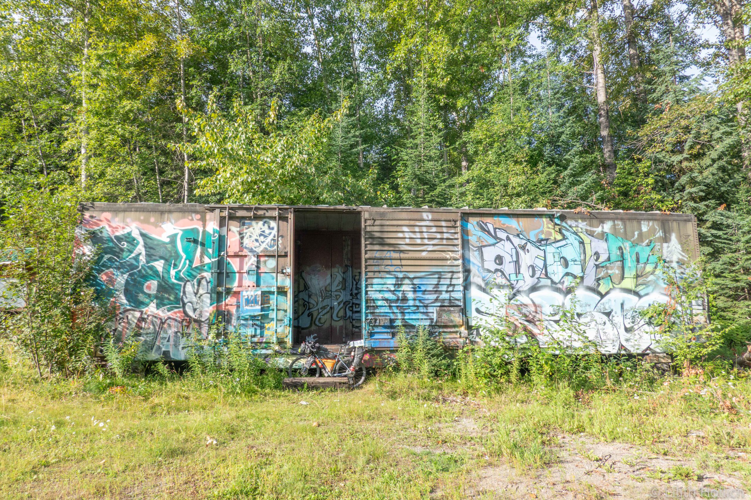
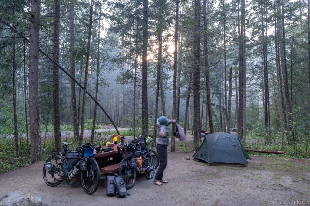
The following day we restocked on food in Prince George and met up with Jon afterwards. Our itinerary was pretty similar for the next few days and we discussed our plans. It was afternoon when we started cycling out of prince George. We found a nice place to wild camp about 30 kms outside of the city. Near a trailhead parking lot, there was a small wooden shelter just a short walk into the forest. There was even a train wagon at the parking lot!
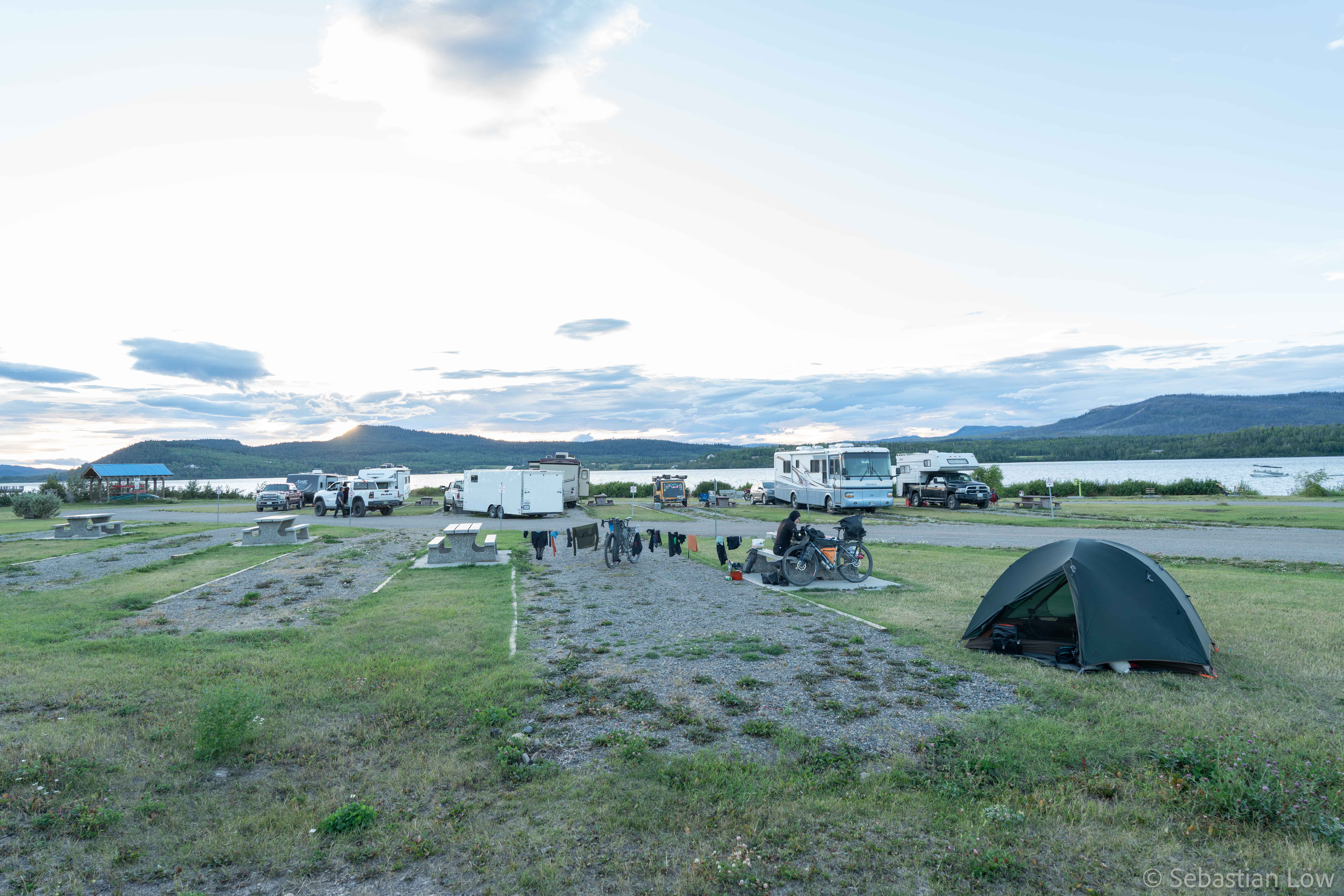
The next day we started with very little water and had our breakfast at the next rest area close to a river. An Australian talked to us, it turned out we had stayed at the same campground in Whitehorse three weeks ago! The beautiful tailwind was unfortunately gone and after our lunch break, Jon caught up with us. We cycled together for a short time until we said goodbye for the day. Sebi and I had decided to camp at a big rest area two hours further down the road. The rest area is fairly luxurious, with flush toilets, fresh water from the creek, picnic tables and apparently even wi-fi, but that didn’t work when we were there.
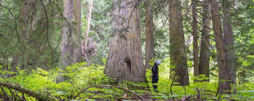
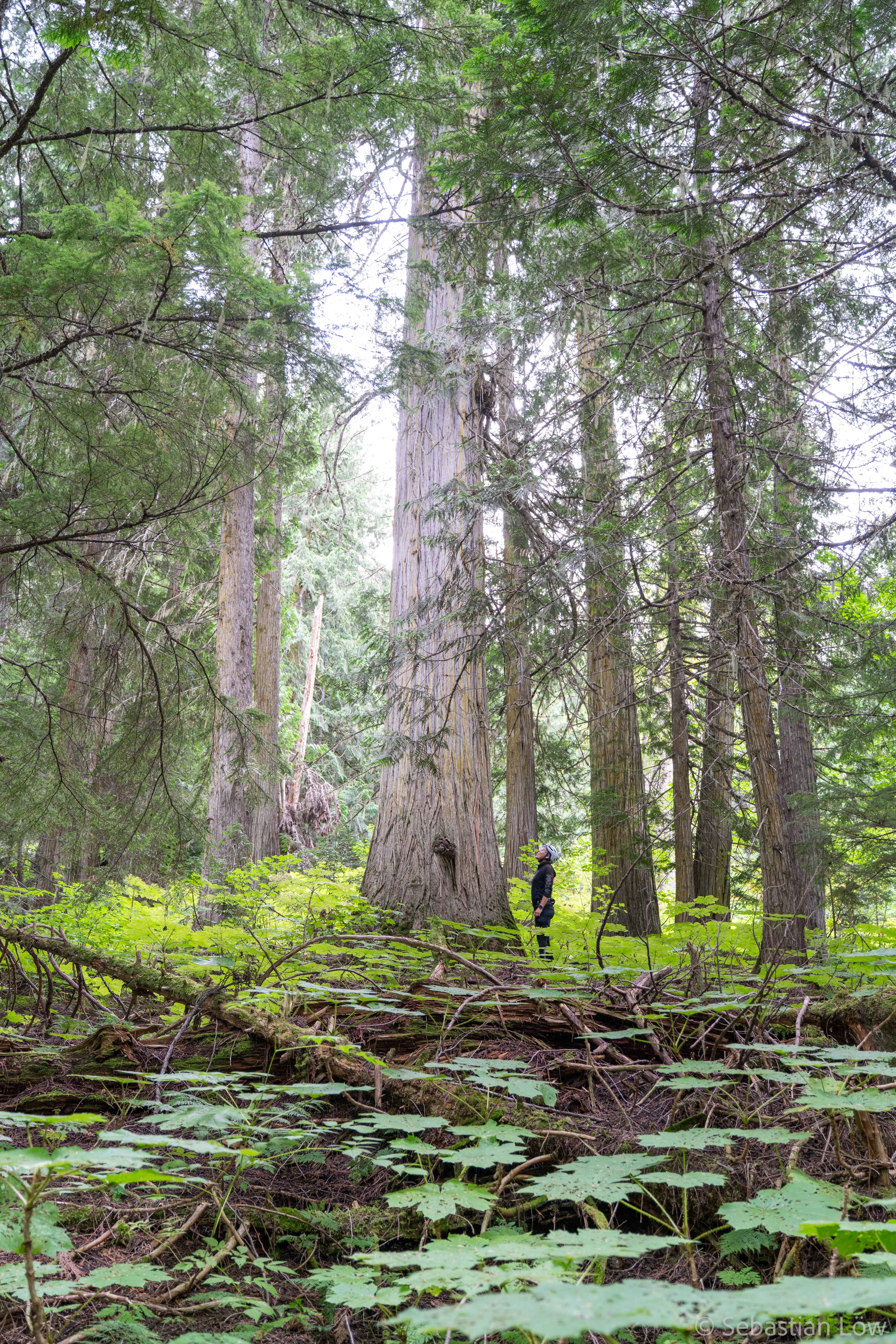
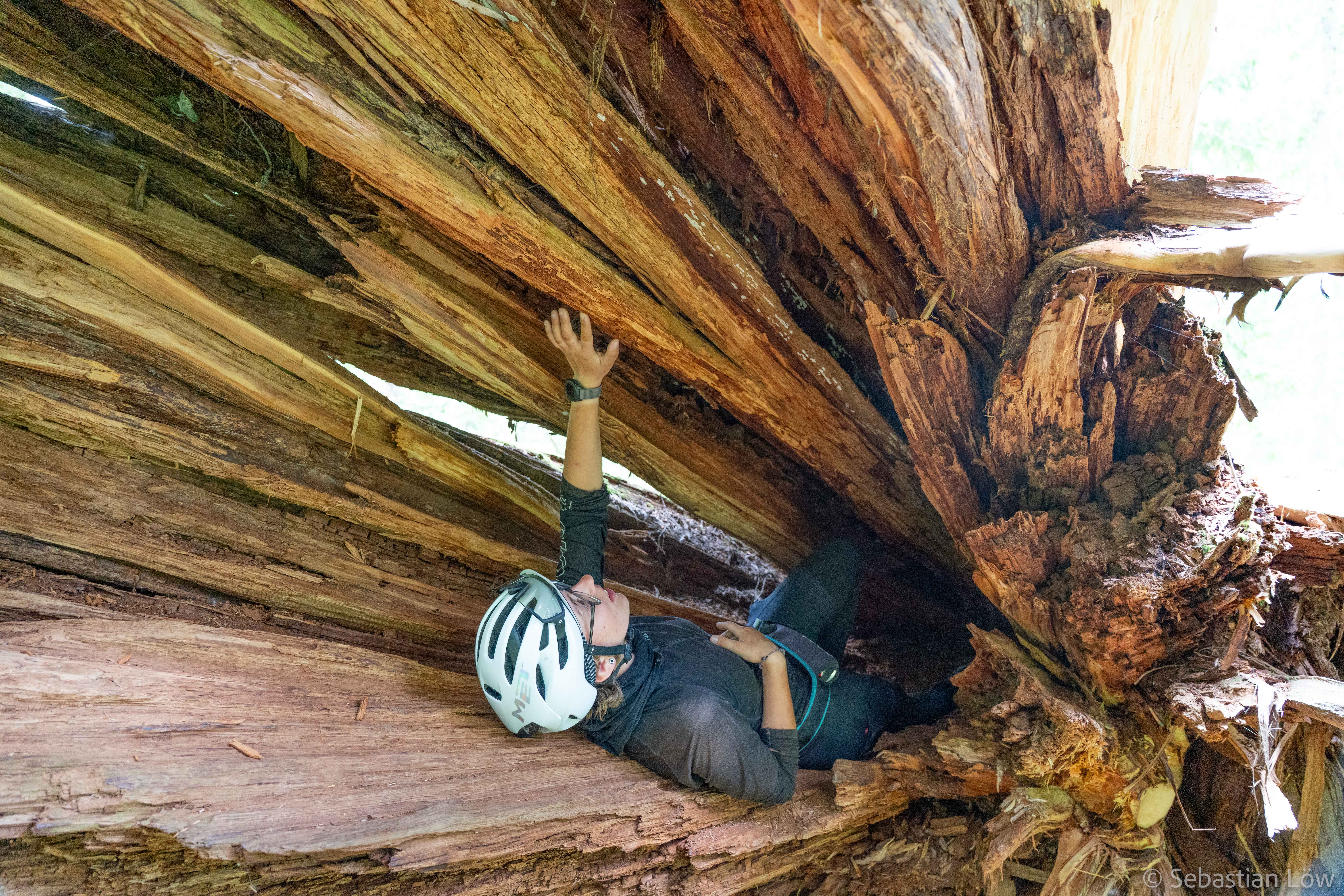
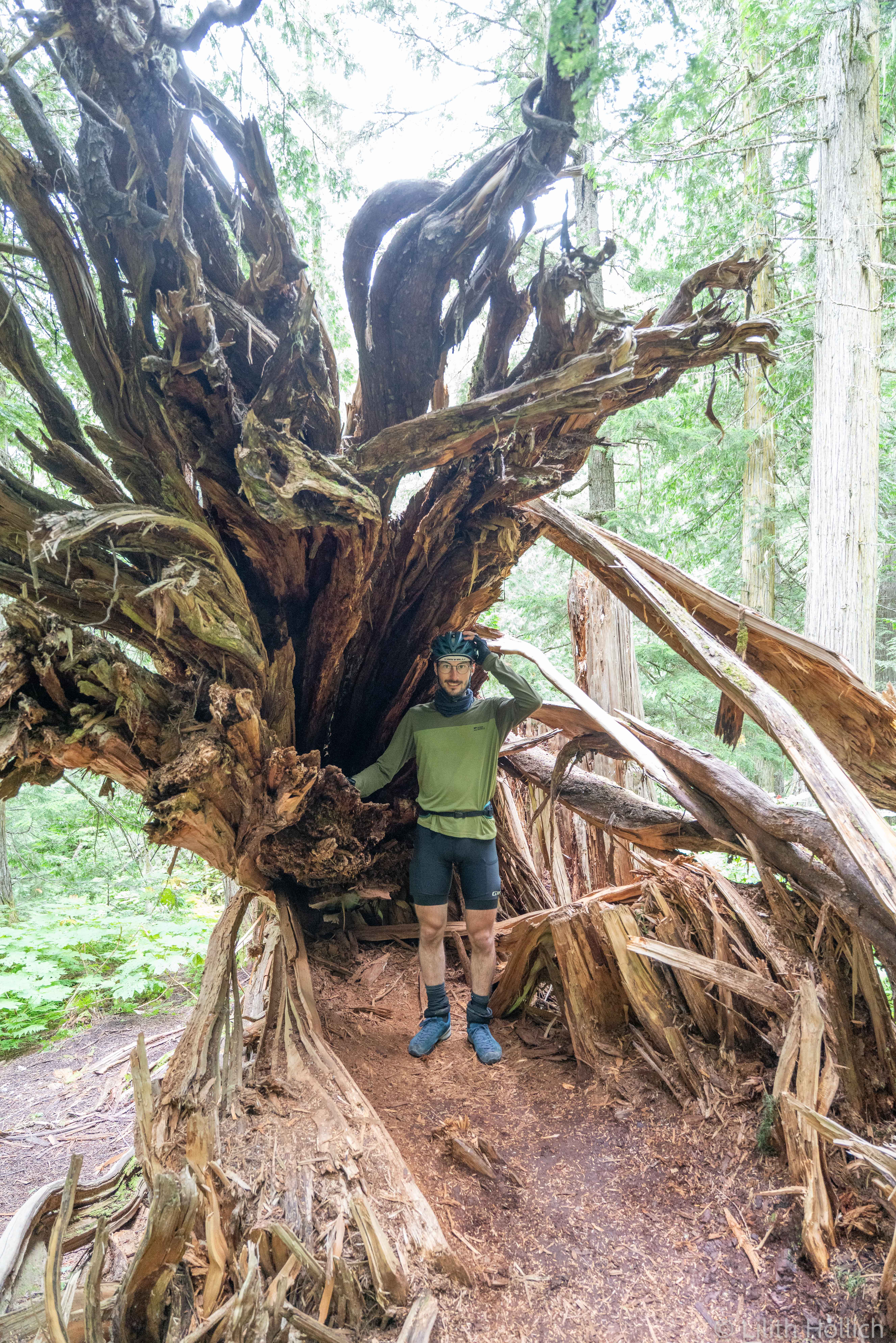
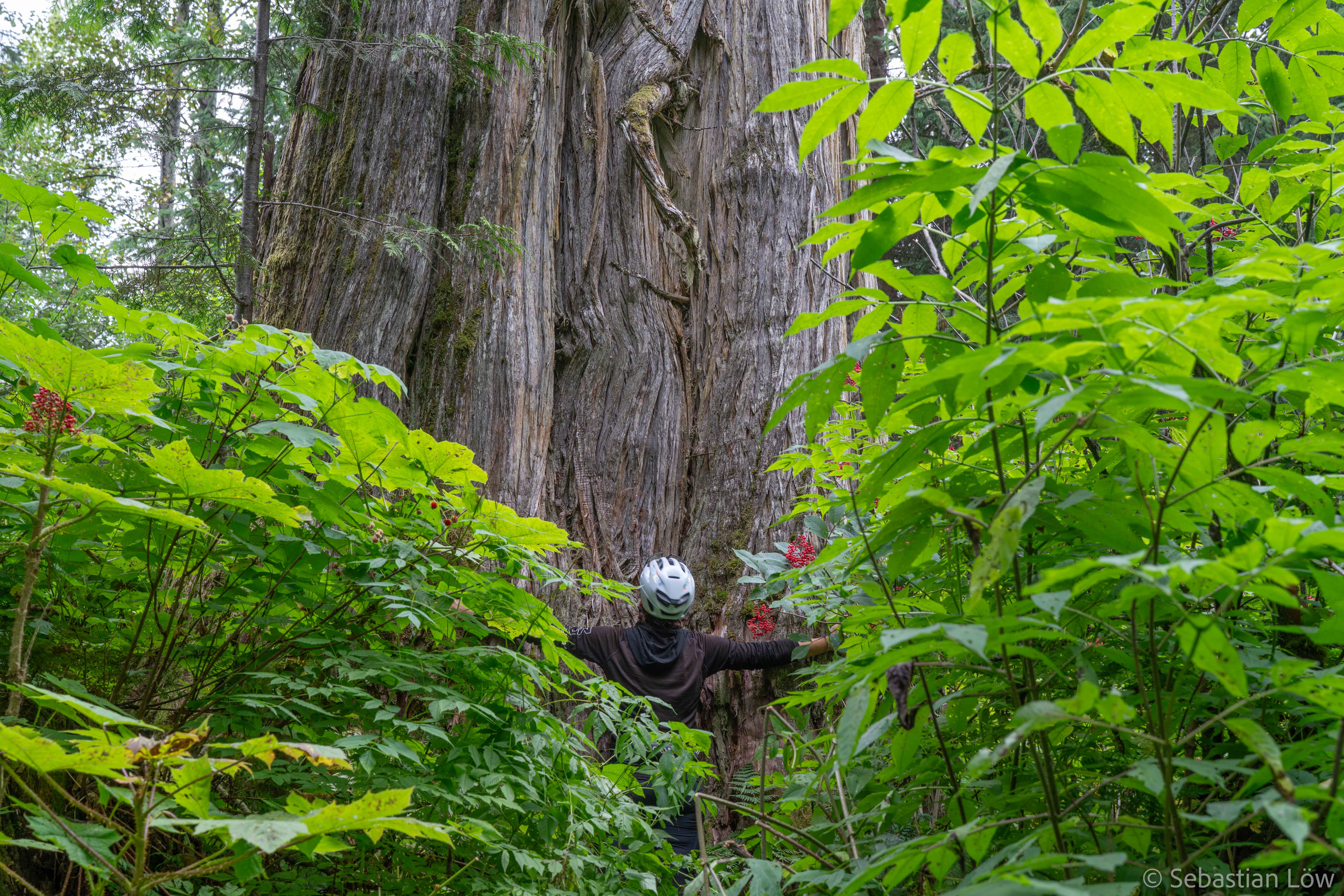
Shortly before the rest area we stopped at a place called “Ancient Forest”. Right beside the parking lot was the start of an incredibly beautiful walk into the forest, full with ancient trees as old as 2000 years or more. The walk takes you through a temperate rainforest, the trees are huge and the trail leads you mostly over wooden boardwalk through thick fern bushes and a small detour reveals a waterfall. Apparently there is no temperate rainforest that is further away from the sea than this one with 800 km.
The remaining two days towards the Mount Robson Provincial park were a battle against rain and wind and lower temperatures. I missed my rain pants a lot, every time we stopped I felt cold even faster than usually. Sebi lost a really small part of his tooth (note from him: sorry mom for not telling you), and for a moment we were afraid that we had to skip the hike and head to Jasper immediately (which was the next town with a dentist). Fortunately, the dentist on the dental emergency line was incredibly helpful and after a few minutes on the phone we were assured that an appointment in a few days would be early enough.
McBride was our last food resupply point before we would reach Jasper in about a week and we made sure we bought enough – for three days on the trail and another two to three days of cycling. A woman approached us and gave us fresh veggies from the community garden.
On our last day towards the park it was pouring all day. Every time Sebi needed to take off or put on his rain pants, I had to stop and wait and started freezing. Spirits were quite low and we were so happy when we made it to the park’s Welcome Center. We arrived around 3 pm, soaking wet and shivering. We checked in for the trail for tomorrow and ate a nice burger at the cafe. We went to the campsite and everything was wet and cold and disgusting. The ground was slightly sandy and the sand stuck to everything. I’m not even going to start talking about the tiny slugs everywhere… At least there were hot showers!
We had to prepare for our upcoming three-day hike the next day. The constant rain made it near impossible to try how to pack everything and when we went to bed, it was still slightly questionable how we were going to carry all the essentials up the mountain the next morning.
Hoi Lilit , Hoi Sebastian
Die Reise wird immer Intressanter!
Wir freuen uns schon auf den nächsten Bericht
Liebe Grüsse Markus und Ilse
Habe schon geantwortet
Das ist schön zu hören!
Bis zum nächsten Bericht 😊
Liebs Grüessli